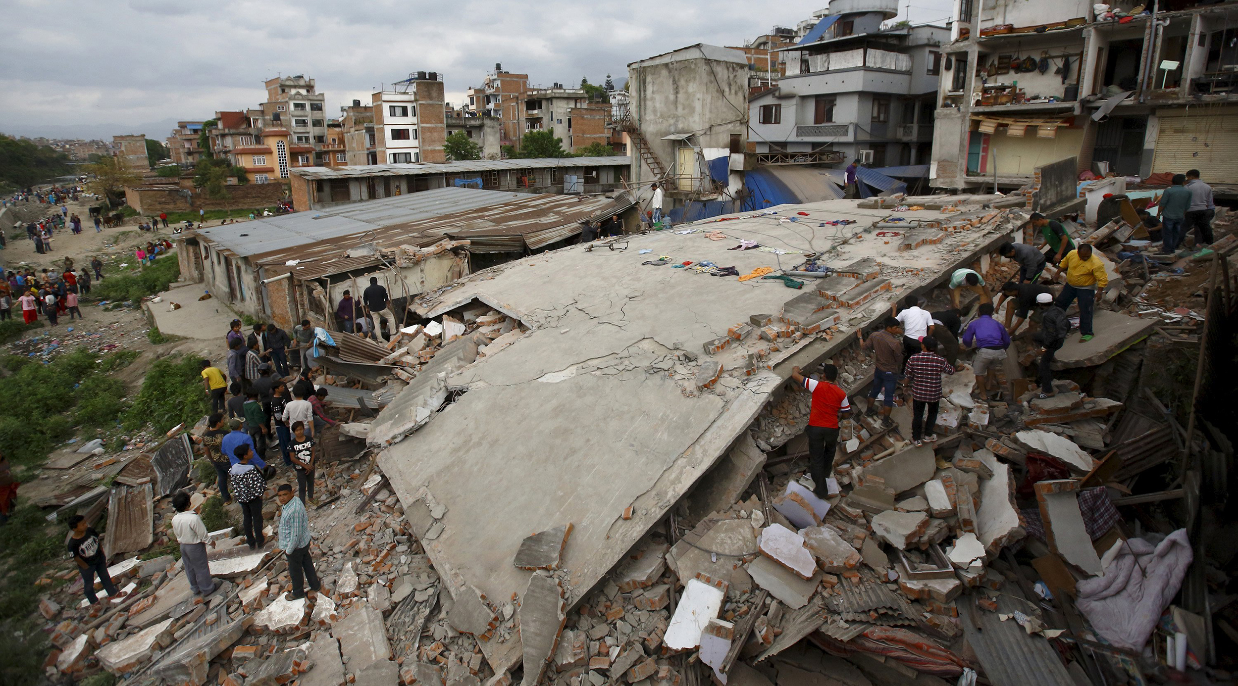
While this is a serious and tragic issue and we do not want to make any attempt to trivialize the same, we feel that one day Big Data can help us save thousands of lives that are taken away due to earthquakes.
No science yet can predict earthquakes in advance, especially because our world is constantly being rocked by hundreds of mini earthquakes daily and it is almost impossible to tell which of these can trigger a larger magnitude earthquake.
Japan has been investing huge amount of resources in developing analytics to predict and understand earthquakes, apart from this endeavors like QuakeSim a NASA project was started in 2009 for a similar purpose, there is a similar story about the Chinese government having created a ministry for earthquake prediction I the 1950s and that they indeed predicted a 7.5 magnitude earthquake saving thousands of lives.
One can find more studies and mathematical models that claim to be early warning systems for earthquake by clicking here.
We discovered a website www.quakehunters.com that claims to leverage satellite big data, Earth observation and Internet system to predict earthquakes.
Similarly there is a nonprofit called GEM (Global Earthquake Model) and the aim is to provide a very sophisticated earthquake risk assessment model used by Japan to under developed countries
The logic of this model breeds from the thought that Earthquakes do not kill people but building collapses and landslides etc. do. So more than prediction of eartchquakes if one could create database of fragility conditions of all the buildings on earth mix it up with the fault maps and historical earthquake data of 1000 years- one would have a system that will give a roigh estimate of dangerous areas to live in.
Check out this video of 1000 years of Earthquake created by GEM.
>
There are several more interesting pieces of work being done across the world, and one of them is by Southern California Earthquake Center (SCEC), which is a community of over 600 scientists , students and others across 60 institutions worldwide. The idea is to understand earthquakes in southern California (which is also called by some people as the capital of earthquakes) so as to mitigate earthquake risks. SCEC creates a very interesting and useful item called shake maps, which allow one to see a pattern of where shaking has occurred . This map is now created in 2-3 maps courtesy their digital stations that are spread out and gent activated during an earthquake. The shake pattern can help respondents to prioritize their response in case of an earthquake. Apart from shake maps SCEC is also creating hazard maps (of visible and hidden faults) so that more realistic simulations can be created – to be able to understand the earthquake behavior better and plan emergency measures in advance. I can only conclude by saying that while we may not have a 100% trusted system to predict an earthquake but our scientists are treading in the right direction. They are creating databases of faults, recording live imagery of hundreds of earthquakes from the site as well as imagery and patterns via satellite and what not. The idea it seems is to first address minimizing the impact of earthquake and then later in predicting the earthquake.


